
Finding Who Lives Along a Barstow Street
Begin with the exact Barstow situs address in Assessor Parcel Access. The San Bernardino County assessor search can turn a Barstow street number and name into an assessor parcel number, or APN, plus a situs, mailing address, owner history, and legal description. Those are Barstow leads, not a complete household list. An assessed Barstow owner may be a person, trust, or other recorded interest, while a mailing address may point somewhere else.
Walk the Barstow record chain in a fixed order so each result has a clear meaning. A useful Barstow street directory workflow is:
- Enter the street number, street name, and city in the assessor address control. Save the APN, situs, owner or inactive-owner label, mailing address, and legal description.
- Pan and zoom the parcel map. Select the subject polygon, then select only the immediately adjoining polygons and save each APN separately.
- Use lawful voter channels only. My Voter Status is a self-service exact-match tool, not a public street roster, and the statewide file is limited by Elections Code section 2194.
- Carry the owner name and legal description to the Recorder party index. Search grantor and grantee spellings, because the Recorder does not accept a street address as an ownership search.
- For an older household clue, inspect the Library of Congress telephone reels and ask the local library about any unverified reverse or criss-cross holdings.
The Barstow sequence separates a parcel clue from a person clue. When the question narrows from a whole Barstow street to one individual, the Barstow resident lookup workflow adds court, vital, business, and same-name checks without turning a Barstow address into a claim about everyone who lives there.
Barstow Address Fields in Parcel Access
Assessor Parcel Access is the key modern address bridge for a Barstow street directory. Its public Barstow form exposes separate modes rather than one broad people search. Parcel Search uses a parcel number field. Name Search pairs first and last name fields with controls for active or inactive names and formatted or unformatted names. Address Search uses a combined Barstow street number and name control with city information.
| Field or mode | Form | Required | What to record |
|---|---|---|---|
| Parcel Number | Text | Yes in Parcel Search | APN used to reopen the parcel report |
| Address | Text or autocomplete | Yes in Address Search | Street number, street name, and city |
| First Name | Text | Yes in paired name form | Given name or initial pattern |
| Last Name | Text | Yes in paired name form | Surname and spelling variants |
| Active Names / Inactive Names | Checkboxes | No | Active is the default; include inactive when tracing title |
| Formatted / Unformatted Name | Checkboxes | No | Formatted is the default; broaden when an index form differs |
The returned Barstow report may include parcel status and type, use and tax status, owner relationship and interest percentage, acquisition and document dates, mailing and situs addresses, tract, lot, block, map and legal description. It can also show owner history, roll values, exemptions, improvements, easements, nuisances, zoning, dimensions, and parcel changes. Protected Barstow names or addresses are masked under Government Code section 7928.205, so a blank field is not an invitation to infer it.
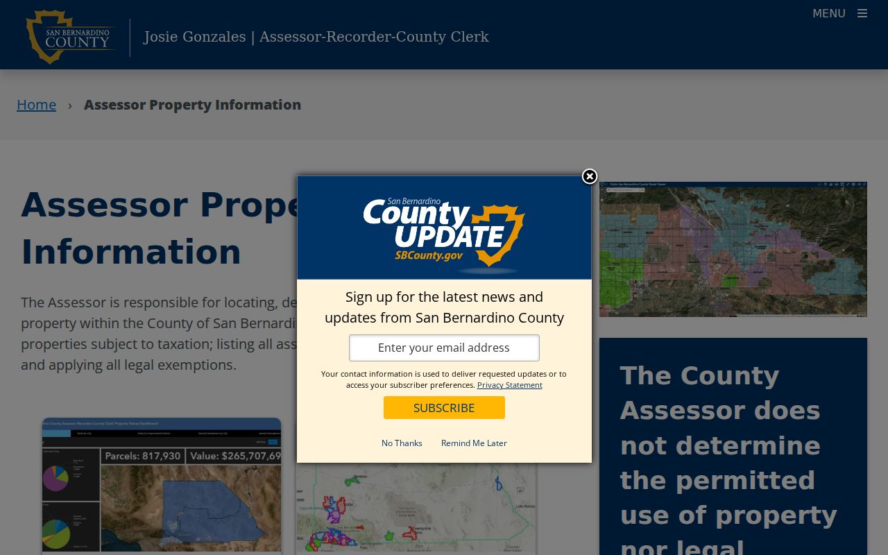
The county's property-information resources explain Barstow roll history and downloadable public data alongside the individual parcel route. The screenshot below represents that county property-information channel, which is useful for distinguishing a Barstow assessment event from a recorded deed.
Use the Barstow APN and legal description as the durable keys. A displayed Barstow owner name is an assessed ownership clue, not proof of current occupancy or the identity of every household member.
Barstow Street Records by Address
A Barstow street directory becomes more useful when each Barstow address-keyed source is labeled by what it can actually establish. The assessor starts the chain, the GIS map supplies parcel geometry, and the Recorder supplies party and instrument history. City requests add Barstow project or compliance context. Telephone pages preserve only the names that appeared in a particular issue, while voter records remain a restricted statutory channel.
| Record set | Keeper | What it shows | Access |
|---|---|---|---|
| Property and assessment roll | San Bernardino County ARC | APN, assessed owner, mailing and situs, values, legal description | Free Parcel Access |
| GIS parcel map | ARC Assessor | Subject parcel and adjacent polygons, with individual reports | Free interactive viewer |
| Deeds, liens, and maps | ARC Recorder | Recorded parties, document type, date, legal description, book or page | Free index; copies and images by order or counter |
| Permits and inspections | Barstow Building and Safety | Project address, owner or applicant, work, inspection history | Focused request; no public browse found |
| Code records | Barstow Code Compliance | Violation address and responsible-party clues | Focused request; no public portal found |
| Voter file | California Elections | Registration data only through self-service or an approved statutory file | Restricted under Elections Code section 2194 |
| Telephone directories | Library of Congress and local repositories | Period-listed personal or business names, addresses, and numbers | Free digitized reels for selected years |
The Barstow APN ties an assessment report to parcel history and helps a researcher describe the right land when a street presentation changes. The legal description ties that Barstow parcel to Recorder documents. A Barstow street name alone cannot do that work, and a telephone listing cannot fill the gaps left by unlisted numbers or households without service.
Barstow Situs, Mailing, and Legal Addresses
Barstow address terms carry different evidence levels. The assessor's situs is the physical parcel. The Barstow mailing address is where tax correspondence is sent. The legal description uses tract, lot, block, or another land description that can survive a change in postal presentation. A plat is a recorded map that lays out lots, blocks, streets, or easements. A Barstow criss-cross directory, if a verified local run exists, reverses the usual name-first order and starts with a street address.
- Parcel
- A mapped unit of land identified by an APN, with its own assessment and legal description.
- Situs address
- The physical location assigned to the parcel, not necessarily the address used for correspondence.
- Plat
- A recorded map that helps connect a lot, block, tract, and street layout to a legal description.
- Criss-cross directory
- A reverse directory arranged by address rather than surname. A complete Barstow run was not verified, so local holdings need staff confirmation.
For Barstow tax research, the San Bernardino County Tax Collector search accepts an APN, mailing address, or property number. It withholds owner names. The image below shows that Barstow tax-search channel, which can confirm the property-number path without turning a tax account into a resident list.
A Barstow mailing address that matches the situs may strengthen an owner-occupancy inference, but it still does not prove who was present on a particular date. Carry both Barstow addresses forward and label each one.
Note: An address match is a useful lead, but it cannot turn a tax correspondence field into proof of household identity.
Map Barstow Parcels by Street
The Barstow Assessor Parcel Access map is best used as a parcel-by-parcel viewer. Pan and zoom until the subject polygon and Barstow address point are clear, open the report, then select the immediately adjoining polygons one at a time. Save each APN and situs separately. On a Barstow corner, a large improvement may sit across more than one parcel, so the building shape should not be treated as a household boundary.
Parcel Utilities includes a “Generate Attached Parcel Report” function, but the published material does not define a radius or buffer tool. No supported Barstow street-wide export, measurement control, or complete layer list was established. A useful street directory therefore becomes a Barstow parcel list, not an invented block roster. If an adjacent lot has a protected owner or address field, leave that Barstow field protected.
Note: An adjacent polygon is a parcel lead, not proof that a separate household occupies the lot.
Carry Barstow Street Records to Deeds
The San Bernardino County Recorder self-service index is a Barstow party and document catalog, not a street-address ownership search. Its modes include basic, name, document number, document type, map book and page, and advanced search. Name search uses a name, recording date range, document types, and advanced name options. The basic view can expose grantor, grantee, document type, recorded date, legal description, and book, volume, or page when indexed.
Start with the Barstow assessor owner as a likely grantee. Match the Recorder result by legal description and document number, record the seller or grantor, then search that prior party as a grantee. The county states an official-record index range of 1925 to present, but its practical house-research guide uses 1958 to present for the online deed chain. Earlier Barstow work moves to Recorder microfilm. The public web index does not show remote deed images, so use the Hall of Records in San Bernardino, the High Desert Government Center in Hesperia, or an order request when the Barstow instrument itself matters.
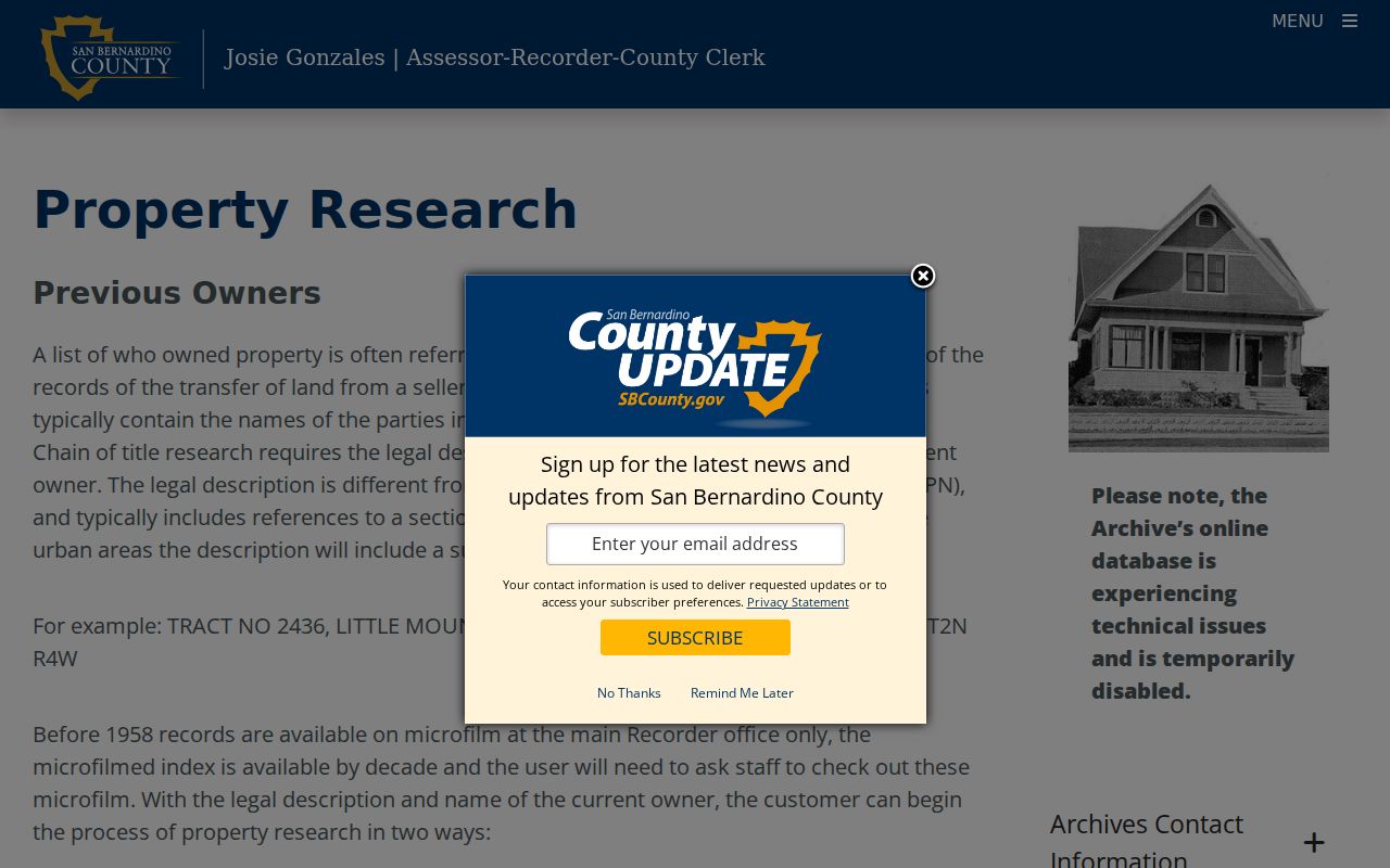
The county's property-research guide illustrates the backward house-history method. The image below is a visual reference for that grantor and grantee sequence.
The Barstow index is free to search. Copies carry county charges, including a first copy page charge, later-page charges, and a seal charge; mailed requests usually take one to two weeks. Treat every Barstow instrument number, date, party, and matching legal description as a separate citation rather than assuming an assessment history is the deed.
Barstow Address Records for Permits
Building and inspection records can add a date, project, owner, applicant, architect, or contractor to a Barstow address trail. Barstow's Building and Safety office is the named permit custodian, but no public permit search was found. Code Compliance is a separate route for Barstow code and nuisance records, also without a public case portal in the research.
Ask for one Barstow address, APN if known, record type, permit or case number if known, and a narrow date range. If the address lies in unincorporated Lenwood, county land-use records may be the correct custodian instead of a Barstow city office. The Barstow public-record request form allows a description of the records, review or copies, contact details, and delivery choices such as mail, pickup, fax, or email. Paper copies are listed at $0.25 per page, while fax or email delivery is described as free; the form also notes the ten-day determination rule.
Note: A Barstow permit applicant or code contact is a record-specific Barstow role, not a verified resident label for the address.
Read Barstow Telephone Listings by Street
For older Barstow names, the Library of Congress Barstow telephone-directory reel covers October 1950 through October 1955 with page images and OCR. Separate reels continue from October 1956 through November 1958 and from November 1959 through November 1962. These are Barstow telephone directories, not Polk occupational directories. Alphabetical lines may show a personal or business name, an r residence marker, a street number and abbreviation, an outlying place, and a telephone number.
Barstow OCR can confuse fractions, “1st” with “lst,” wrapped names, and street abbreviations. Search surname variants and stable street numbers, then verify the scan. A directory listing proves that a name appeared in that compilation window. It does not prove that every occupant was listed, that an unlisted number was absent, or that the address falls inside incorporated Barstow. The Barstow exchange also reaches Daggett, Yermo, and Hinkley.
Note: When OCR and the page image disagree, the original scan controls the spelling, address, and telephone number used in a historical street directory.
Barstow's 1925 Address Clue
Barstow's commercial district moved in 1925 from the railroad and Harvey House area to Old Town. That Barstow local-history fact matters when a historical street directory, newspaper notice, or deed seems to place a business in the “wrong” part of town. The move is an address-continuity warning, not proof that every Barstow street was renumbered.
Keep the Barstow period wording in the source. Search railroad or Harvey House references alongside Old Town and highway forms, then compare the legal description, parcel history, and document date. A modern Barstow street presentation should not be projected backward without a verified crosswalk. This is where the Barstow street directory becomes a chronological research aid rather than a simple list of names.
92311 and the Barstow ZIP Boundary
ZIP 92311 covers incorporated Barstow and the surrounding postal area, including unincorporated Lenwood. The shared postal city can mislead a Barstow street search. A Lenwood parcel may use county land-use and code channels even when the envelope says Barstow. The assessor GIS jurisdiction, not the ZIP label alone, should decide whether a Barstow city permit request is correctly directed.
The same caution applies to a Barstow street directory assembled from several sources. USPS validates a standardized delivery address. It does not establish ownership, occupancy, city limits, or court venue. Check the Barstow parcel's jurisdiction before comparing city records, and keep a note when a record belongs to the county rather than the incorporated city.
Note: A 92311 Barstow mailing city can identify postal routing while leaving the Barstow parcel's municipal jurisdiction unresolved.
Limits of the Barstow Street Directory
A Barstow street directory cannot reveal a complete list of household members. Tax ownership is not occupancy, a mailing address is not presence, and a telephone book omits unlisted numbers, shared lines, and people outside the compilation. Barstow's Census profile reports only 43.7% owner occupancy, so an owner-focused Barstow parcel search leaves most households outside the owner record. That Barstow limitation is central to honest interpretation.
DMV addresses are restricted by the federal Driver's Privacy Protection Act. Utility customer information is not a public Barstow street roster. California voter data is also not an open Barstow block list, and confidential registrations can be withheld. Use a recorded owner, listed resident, permit applicant, or approved voter-file result only for the role the Barstow source supports. When a Barstow person or address is protected, stop rather than infer the hidden detail from relatives or nearby parcels.
Lawful use. Barstow address records are for personal, lawful Barstow research and civic or family-history purposes. Stalking, harassment, intimidation, or misuse of protected Barstow data can trigger California restrictions, including Penal Code section 646.9.